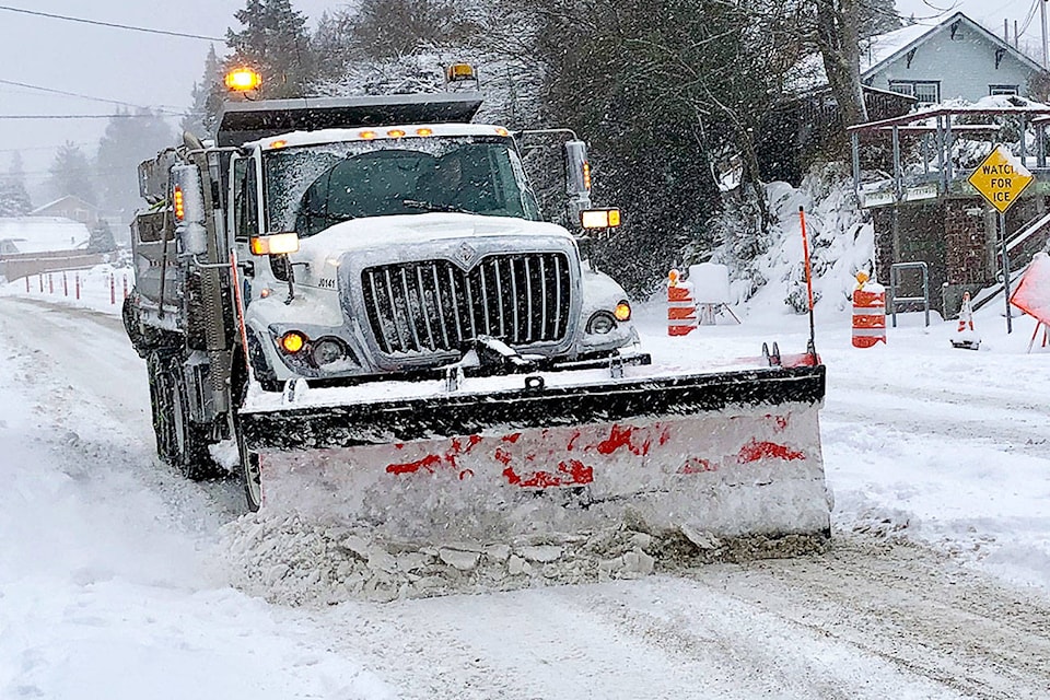
Winter-wary central Albertans can be thankful they do not live in Saskatchewan.
The northwest edge of a major storm coming up from Wyoming will touch this region, bringing some snow on the weekend.
But we will be spared the brunt of the storm, which is expected to dump up to 30 centimetres of snow across a wide swath of Saskatchewan.
“The big story is the storm that is going to be affecting Saskatchewan and Manitoba this weekend,” said Dan Kulak, Environment Canada meteorologist.
“So anyone in the Red Deer area, don’t be planning to go to Saskatchewan this Saturday,” said Kulak.
“The worst of the weather in Saskatchewan is probably going to be on Sunday, but it’s going to start going downhill on Saturday.”
Besides the snow dump, high winds are expected to make for poor visibility for drivers.
For central Alberta, snow is expected beginning as early as Friday night, but how much is unclear.
“It’s still a tough call right now. I think we’re more confident that Saskatchewan is going to get 30 centimetres or more, but how much will spill back into Alberta, we’re still assessing that.”
Snow is expected from Edmonton to the south, with more falling the further southeast you go.
Mainroad Alberta Contracting LP, which maintains and plows the province’s highways, issued a weather alert on Thursday warning drivers to expect 10 to 15 centimetres of snow in the region on the weekend.
Mainroad crews are patrolling highways and will pre-treat the roads, depending on conditions.
Friday’s high will be around 4 C, before the temperature drops on Saturday, when a high of -1 C is forecast, along with flurries.
Sunday’s high is -5 C, but then the mercury inches above freezing through early next week.
“The normal for right now is 3 C, and Sunday’s high is -5 C, so a little bit cooler than normal. But it doesn’t look like a deep arctic pattern setting up here that’s going to be a persistent thing.”
